Stop #24: Columbia Falls Delta

Location:
Columbia Falls; follow Centerville Road along the delta. Drive by—no specific stop, view from roadway.
N 44°40’36” W 67°41’40”
Geology:
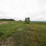
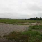
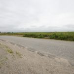
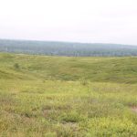
Edge of Delta: The Columbia Falls Delta was formed by meltwater and sediment discharging from an ice tunnel into the sea, when sea level was approximately 250 feet higher than today as marked by the height of the outer edge of this delta. The abrupt drop-off along the north edge of the delta marks the ice-contact edge of the glacier.